
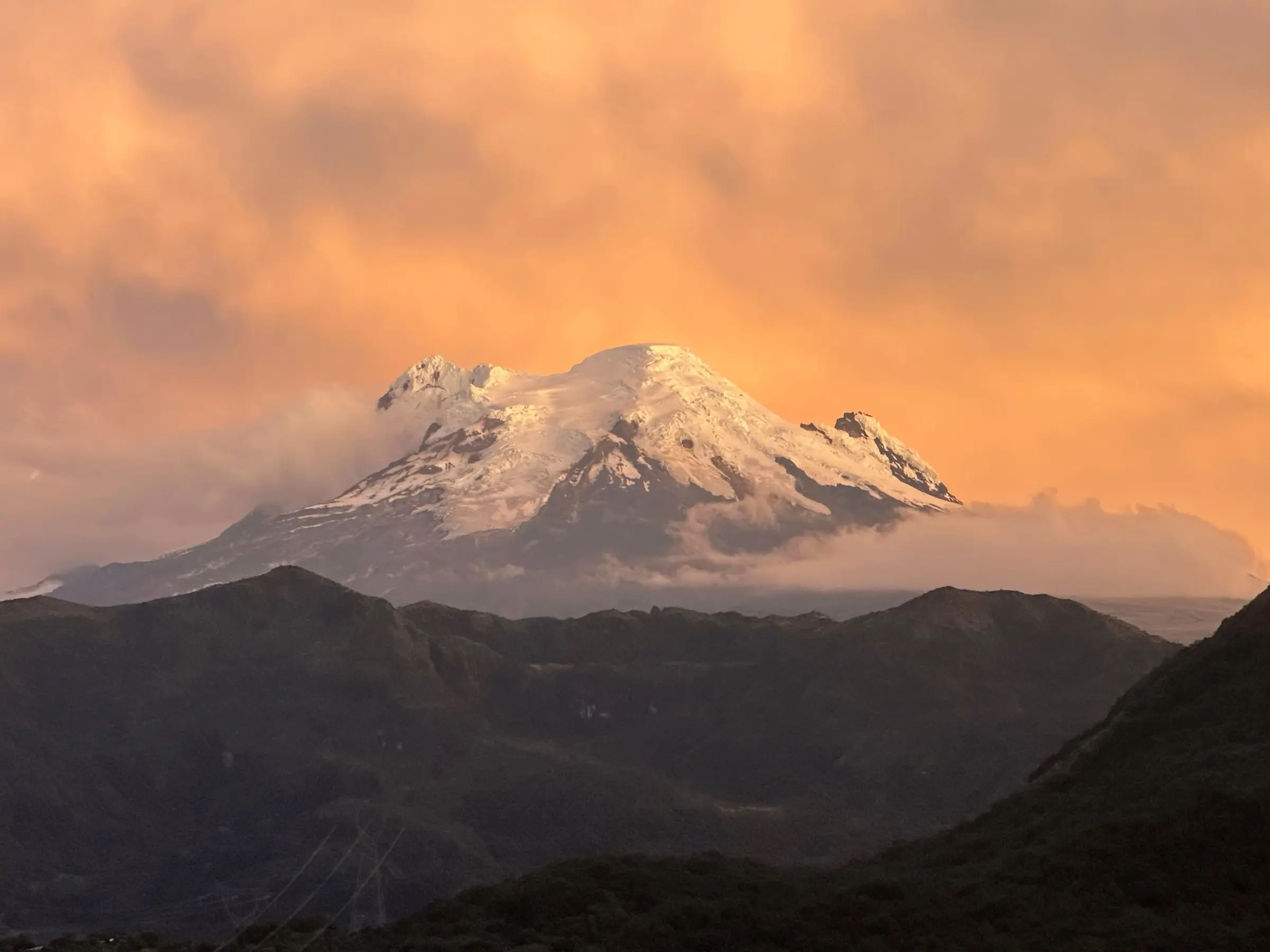
The road from Quito to Papallacta is the first 70 km of your trip. San Pedrito is not in Papallacta: it sits 23 km (about 30 minutes) further east, in Sector Alejandría, Cuyuja. From Quito centre the whole drive is 93 km and takes 1 h 45 to 2 h on the E20 road to Baeza.
Opening soon. We're finishing the trail up to the lookout and planting native flowers. Birding guides and tour operators: message us on WhatsApp to hear when we open.
How far is it from Quito to Papallacta and San Pedrito?
About 93 km from Quito's historic centre and 76 km from the airport. These are road distances to our gate, measured on the route described below. Real driving times depend on traffic out of Quito, fog on the pass and roadworks.
| From | Road distance to San Pedrito | Typical time by car |
|---|---|---|
| Quito historic centre | 93 km | 1 h 45 – 2 h |
| Quito airport (UIO, Tababela) | 76 km | 1 h 20 – 1 h 30 |
| Papallacta village | 23 km | about 30 min |
| Guango Lodge | 11 km | 10 – 15 min |
| Cuyuja village | 4.4 km | a few minutes |
| Baeza | 18 km | about 20 min |
| Quitumbe bus terminal (by bus) | about 100 km | 2 – 2 h 30 by bus |
Save the pin on your phone before you leave, in case you lose signal in the mountains: San Pedrito on Google Maps (−0.4276, −77.9991).
Quito to Papallacta and Cuyuja in 8 steps
Follow one road the whole way. Once you leave the Quito valley, the E20 takes you over the Andes and down the eastern slope without a single turn you can miss.
- Leave Quito heading east through Tumbaco toward Pifo. Early starts beat the city traffic.
- At Pifo, follow the signs for Papallacta and Baeza. If you come from the airport, you join this road near Pifo.
- Climb to the páramo pass, at around 4,000 m. The Virgen de Papallacta shrine is near the top, often in cloud.
- Drop past Laguna de Papallacta, a lake right beside the road. Stop only where it is safe to pull over.
- Pass Papallacta village and the hot springs turn-off. Do not turn: San Pedrito is still 23 km ahead.
- Descend into the cloud forest and pass Guango Lodge, about 11 km before us.
- Drive through Cuyuja village, with its climber monument beside the road.
- Continue 4.4 km toward Baeza to Sector Alejandría. San Pedrito is on the roadside here; open the map pin.
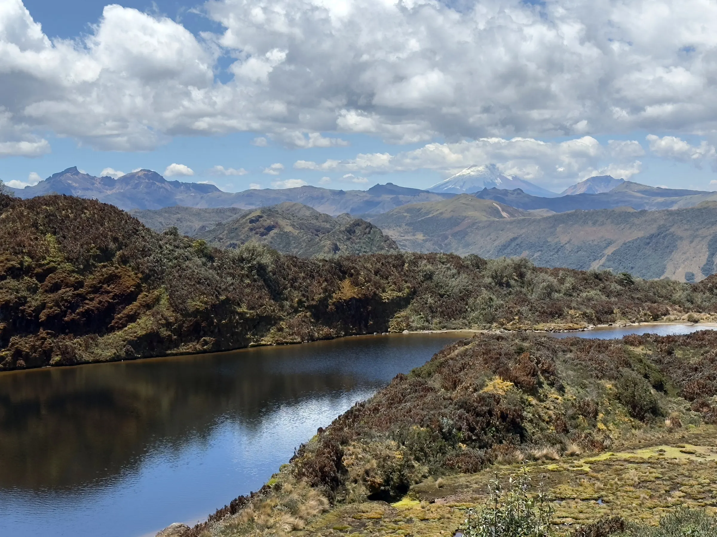
What is the road like from Quito to Papallacta?
It is a paved two-lane mountain road with steep climbs and many curves. The stretch from Quito to Papallacta climbs out of the inter-Andean valley to the pass, then descends quickly. Expect trucks and slow buses on the climbs.
The weather changes fast. Papallacta, at about 3,300 m, has highs of 12–15 °C and lows of 5–6 °C, according to Wikipedia. Fog is common on the pass, so drive with your lights on. Lower down, around Cuyuja, it is milder at 10–16 °C, but rain can fall in any month.
Quito to Papallacta and Cuyuja by bus
Public buses work well for this trip. Inter-provincial buses leave from Terminal Quitumbe in south Quito. Any bus to Baeza, Tena, Coca (El Coca) or Lago Agrio runs from Quito to Papallacta and then past our door.
- Where to get off: tell the driver "Sector Alejandría, Cuyuja", about 4 km after Cuyuja village.
- Travel time: roughly 2 to 2 h 30 from Quitumbe.
- Fare: prices change, so confirm at the ticket window in the terminal.
- Getting back: flag down a Quito-bound bus on the same road.
- During closures: buses may detour through Ambato and Puyo, which takes much longer.
Road closures in 2025: check before you go
The Papallacta–Baeza section crosses very wet, steep terrain, and landslides close it from time to time. In 2025 it was closed on 4 June at Chalpi, on 3 July at San Fermín, on 22 July near Laguna de Papallacta and on 2 September at Molanda, as reported by Primicias and El Diario.
The official detour during those closures was Pifo–Ambato–Puyo–Tena–Narupa–Baeza. That is a full day's drive, not a short bypass. The day before you travel, check the Ministry of Transport (MTOP) or ECU 911, or simply message us. We can tell you how the road looks from here.
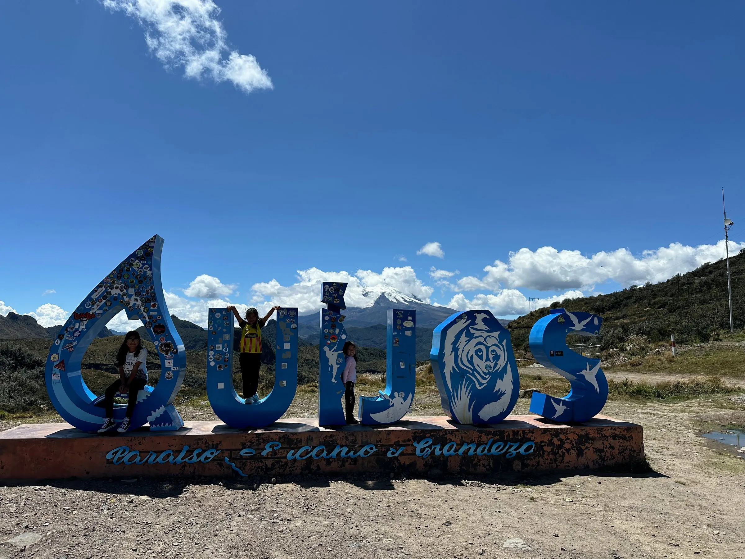
Driving tips: bears, altitude and weather
Three things matter most on this road: wildlife, altitude and visibility. None of them is a reason to stay home, but plan for each.
- Watch for Andean bears. A mother with two cubs was filmed crossing the Baeza–Papallacta road on 21 October 2025 (Teleamazonas). Slow down, keep your distance, never feed them and report sightings to ECU 911.
- Respect the altitude. The CDC says about 25% of people going above 2,500 m get mild symptoms. If you just landed, do not linger on the pass.
- You descend to us. San Pedrito is at about 2,330 m, lower than Quito, so most visitors feel better once over the top.
- Drive in daylight. Fog, rain and curves make night driving hard work.
- Fill up before you leave Quito and carry some cash; this is a rural road.
- Pack layers. It is colder on the pass than at the farm.
Make a day of it
Everything on this road lines up neatly. Leave Quito early and see the hummingbirds in the morning, when they are most active. Then walk at Guango, 10–15 minutes away, and stop at the Papallacta hot springs on the way back. Our visit page has the full one-day plan, and the Cuyuja guide covers waterfalls and the village itself.
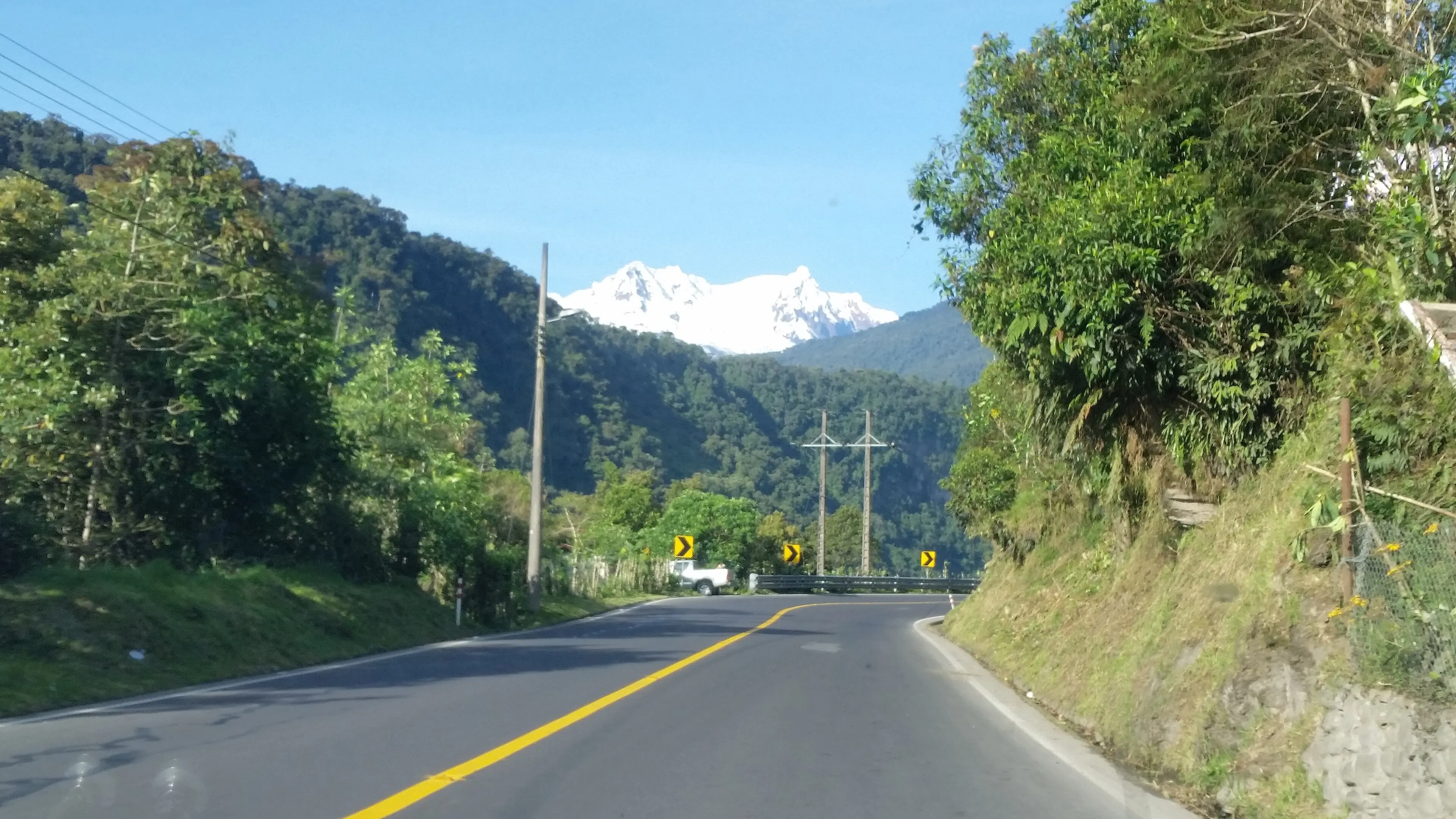
Ask us about the road on WhatsApp
Quito to Papallacta and Cuyuja: FAQ
How long does it take to drive from Quito to Papallacta?
Roughly 1 h 15 to 1 h 30 from Quito centre. Papallacta is 23 km and about 30 minutes before San Pedrito, so the whole drive to our farm takes about 1 h 45 min to 2 h.
Is San Pedrito in Papallacta?
No. We are in Sector Alejandría, Cuyuja, about 23 km and 30 minutes east of Papallacta, on the E20 road to Baeza. Keep driving past the hot springs turn-off.
Which bus goes from Quito to Papallacta and Cuyuja?
Any inter-provincial bus from Terminal Quitumbe heading to Baeza, Tena, Coca or Lago Agrio. Ask the driver to stop at Sector Alejandría, Cuyuja, about 4 km after the village.
How high is the Papallacta pass?
Around 4,000 m. We found no official exact figure, so treat it as approximate. After the pass you descend to about 2,330 m at San Pedrito, lower than Quito.
Is the road from Quito to Baeza open?
Usually, but landslides closed the Papallacta–Baeza section several times in 2025. Check MTOP or ECU 911 the day before you travel, or message us on WhatsApp.
Can I go straight from Quito airport?
Yes. The airport is about 76 km from San Pedrito, roughly 1 h 20 to 1 h 30 by car, and the road to Papallacta leaves close to the airport.
Sources
- Primicias, road closure at Chalpi, June 2025 and July 2025 closures and detour.
- El Diario, total closure of the E20 Papallacta–Baeza at San Fermín.
- Teleamazonas, spectacled bear with cubs on the Baeza–Papallacta road (October 2025).
- CDC Yellow Book, High-altitude travel and altitude illness.
- Wikipedia, Papallacta (altitude and climate).
- Happy Gringo, Termas de Papallacta guide (buses from Quitumbe).
- Ministry of Transport and Public Works, mit.gob.ec (road status).